Home/
Registry/
Ford/
Bronco/
1992-1996/
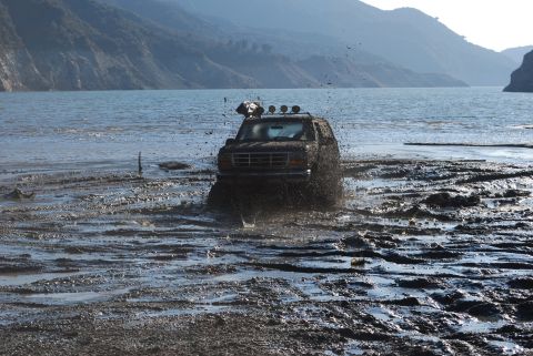
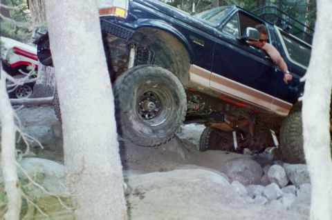
1996 Ford Bronco/
Photo
supermotors.net/registry/media/728985
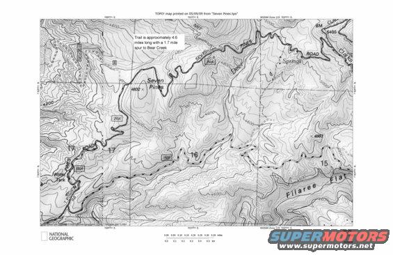
This topographic map details trails and terrain in the Seven Pines area, printed in 1999.
3782000m N. 37 81000m N TOPO! map printed on 05/09/09 from "Seven Pines.tpo" 501000m E. -Trail is approximately 4.6 miles long with a 1.7 mile 3782000m N. _Mm , WWW.) x I 3781000m N ul'a, 1 _ liz- k- I I v I L 1 LL W I ' / . ,, y L A L L ml www.mmii I, 0 - ,. . w , ' , _ , 7 ;..Qai"cmw,: , - . , M x; ,_.a. 501000m E. WGS84 Zone 115 502000m E. TN MN soooo'Om E. 12/2 0.00 0.05 0.10 0.15 0.20 0.25 0.30 0.35 miles NATiONAL GEOGRAPHIC 0W . . . . . . m 05/09/09
Comments
More from this build


No comments yet.