Home/
Registry/
Ford/
Crown Victoria/
1998-2011/
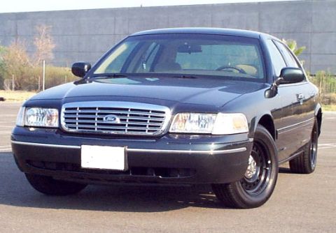
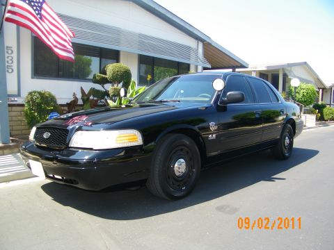
2001 Ford Crown Victoria/
Photo
supermotors.net/registry/media/745432
DeLorme Street Atlas map screen showing roads near Merrimack wit…

Photo of a computer screen showing GPS mapping software, not a vehicle technical document.
EFT! 11!. x.
Is this accurate? Sign in to help verify it.
Comments
More from this build


No comments yet.