Aerial map screenshot of the 2nd Ave and Brunswick St intersecti…
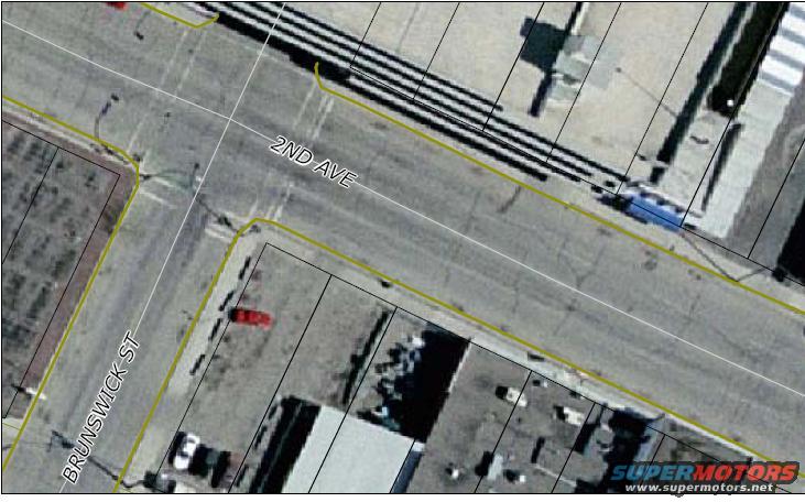
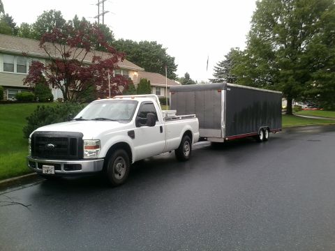
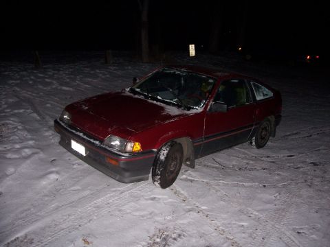
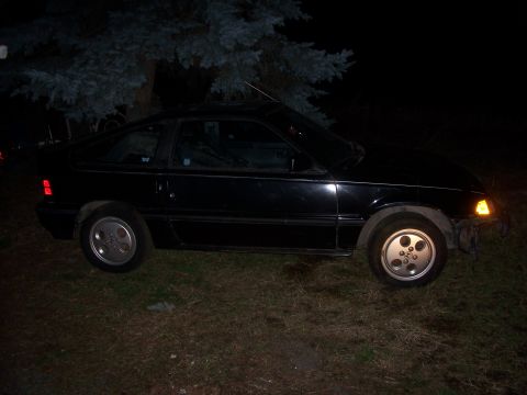
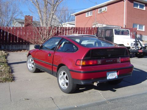
crazy night with REXView all 3
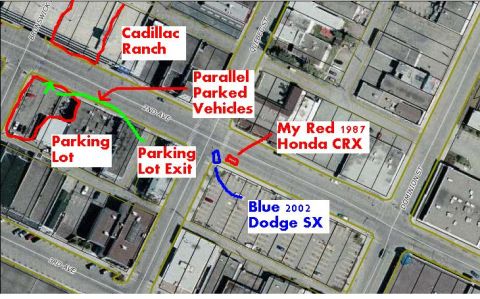
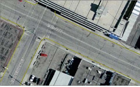
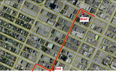
A satellite/aerial map screenshot of an urban intersection with street labels "2ND AVE" and "BRUNSWICK ST" overlaid, plus yellow parcel boundary lines and railroad tracks. No vehicle or vehicle part is the subject of the image.
Is this accurate? Sign in to help verify it.
No comments yet.