Google Maps satellite screenshot of a riverside power plant site…


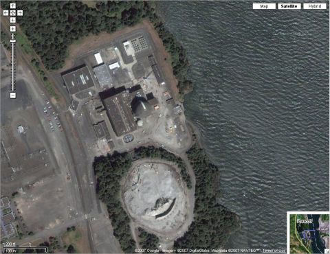










Screenshot of a 2007 Google Maps satellite view showing an industrial power-plant site on a riverbank near Prescott, including buildings, parking lots, a switchyard and the demolished remains of a cooling tower. No vehicle is the subject of the image.
Is this accurate? Sign in to help verify it.


No comments yet.