SuperMotors SuperMotors SUPERMOTORS Search — try “orange Bronco on 35s”
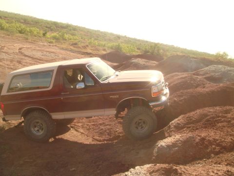
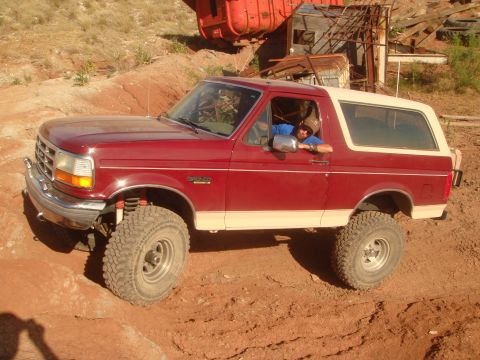
Home/ Registry/ Ford/ Bronco/ 1992-1996/ “Sotally Tober”/ Photo supermotors.net/registry/media/658201

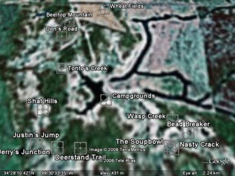
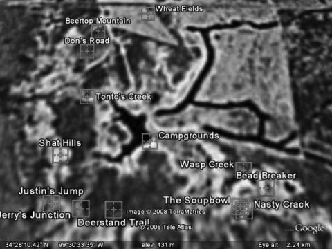
Satellite image of a rural area with labeled locations and GPS c…

This is a black and white satellite image of a rural area with several locations labeled. The labels include "Beertop Mountain", "Don's Road", "Tonto's Creek", "Shat Hills", "Justin's Jump", "Jerry's Junction", "Deerstand Trail", "Wheat Fields", "Campgrounds", "Wasp Creek", "Bead Breaker", "The Soupbowl", and "Nasty Crack". The image also displays GPS coordinates and elevation information.

AI caption · Photo 73 of 325

Is this accurate? Sign in to help verify it.
Comments

No comments yet.

More from this build

Maroon 1992 Ford Bronco with a white top and aftermarket wheels Sony Xplod car amplifier with red accent and silver fins. A hand is near the right side Dual subwoofer enclosure with clear window showing speakers, four circular ports Car stereo with visible wiring and a hand holding a connector Car audio components including a subwoofer, amplifier, head unit, wiring, and remote control on a carpeted floor Front view of a gray Ford F-250 Super Duty truck with a black brush guard Gray Ford F-250 Super Duty truck with a black grille guard and chrome side steps Front view of a truck with a black grille guard. Another vehicle is visible to the right

More 1992-1996 Broncos