Home/
Registry/
Ford/
F-150/
1975-1979/
“ol' blue-grey”/
Photo
supermotors.net/registry/media/691559
Washoe County GIS aerial parcel map with red boundaries and cyan…
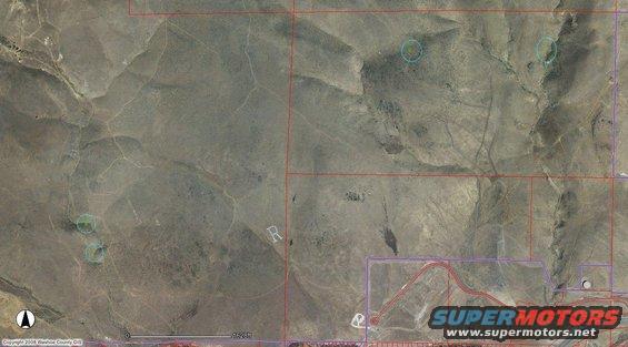
Aerial GIS map screenshot of arid high-desert terrain overlaid with red and purple parcel boundary lines, four cyan circles marking points of interest, a north arrow and a 1,628 ft scale bar. Credit text reads "Copyright 2008 Washoe County GIS".
Is this accurate? Sign in to help verify it.
Comments
More from this build
No comments yet.