SuperMotors SuperMotors SUPERMOTORS Search — try “orange Bronco on 35s”
Home/ Registry/ Ford/ Bronco/ 1992-1996/ 1996 Ford Bronco/ Photo supermotors.net/registry/media/818635

Topographic map with contour lines and latitude/longitude grid
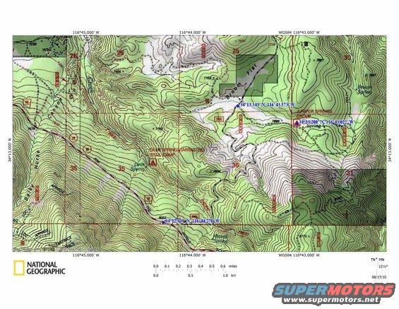
A topographic map displays elevation changes and geographical features, including roads and water sources.

AI caption · Photo 198 of 416

WGSS4 11643.000' W 11645.000' W 11644.000' W created-ithF ' . :1 {in '1 ' g * WGSS4 1143.oob' w 1164;5.000 w Mal} 711644.000' w TN ;MN NATIONAL 5121/2o 0.0 0.1 0.2 0.3 0.4 0.5 0.6 miles 1 1 1 1.0 km 0.5 0.0 GEOGRAPHIC 1 08/17/10

Is this accurate? Sign in to help verify it.

Comments

No comments yet.

More from this build

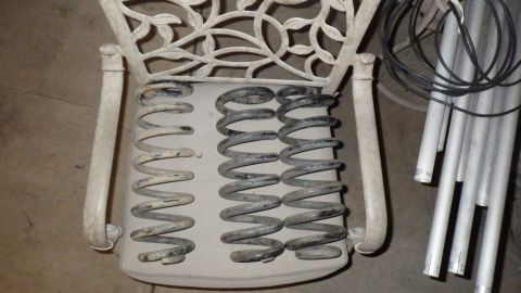
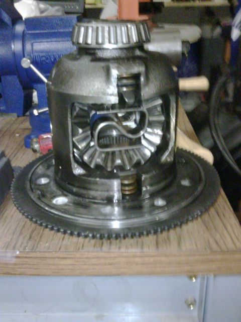
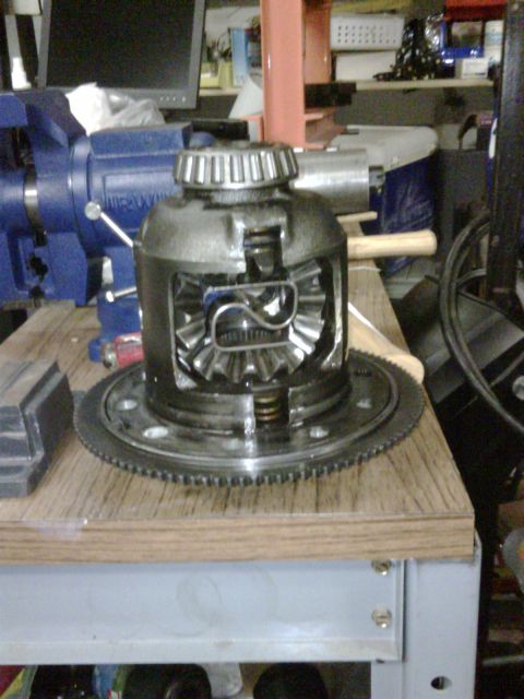
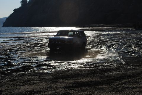
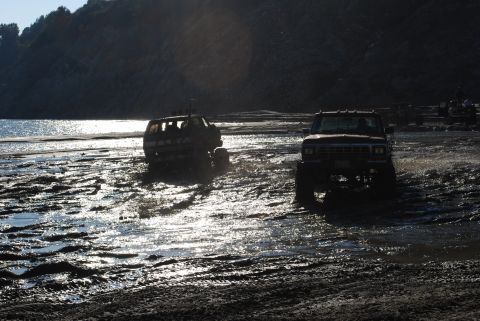
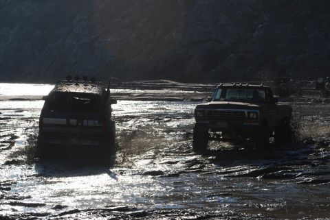
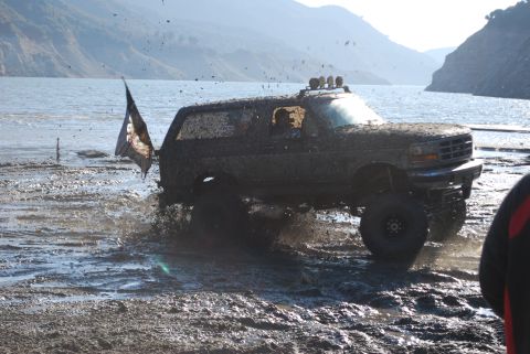
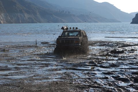
Several suspension springs laid out on a white chair. Some metal pipes and wires are to the right Differential with open case showing gears and pinion Differential assembly with visible gears and bearings, resting on a wooden surface next to a blue vise Dark SUV driving through mud and water near a hill and ocean Two lifted trucks driving through a muddy, wet area with a body of water and hills in the background 1979 Ford F-Series truck and another off-road vehicle driving through mud Mud-covered 1996 Ford Bronco driving through water with a flag Brown Ford Bronco driving through mud and water, throwing up spray. Roof-mounted lights are visible

More 1992-1996 Broncos