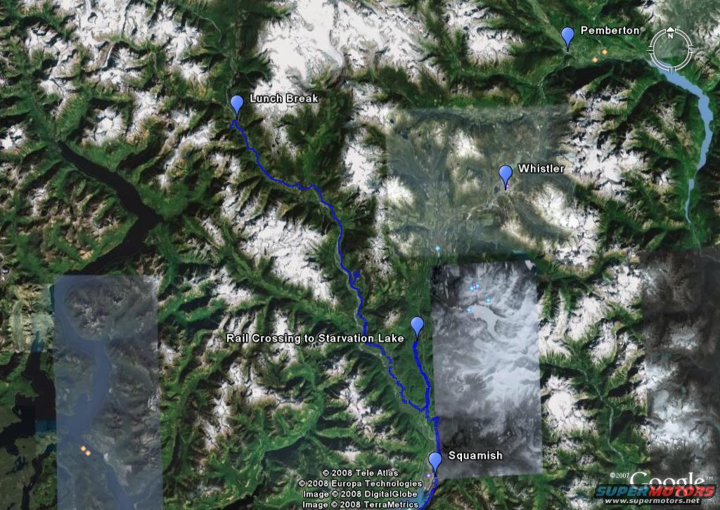
Satellite map showing a blue route through mountains with labele…
Trip Reports 2008View all 965
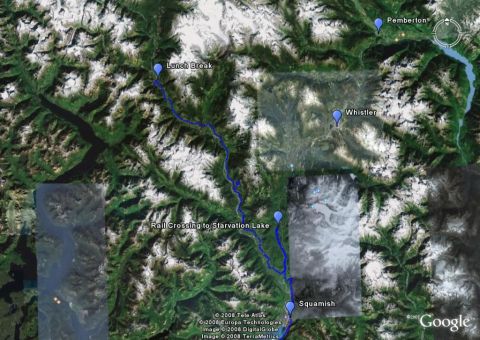
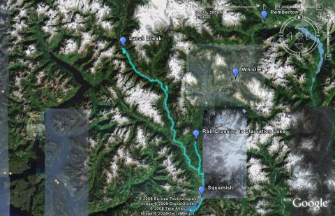
This is a satellite image showing a route marked in blue through a mountainous, snow-covered region. Several locations are labeled, including Pemberton, Whistler, Lunch Break, Rail Crossing to Starvation Lake, and Squamish.
Is this accurate? Sign in to help verify it.



No comments yet.