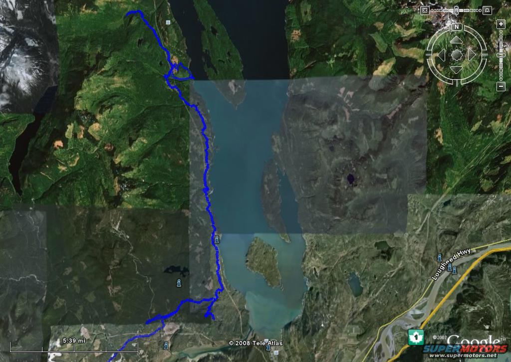
Satellite map showing a blue route through a mountainous, watery…
Trip Reports 2008View all 965

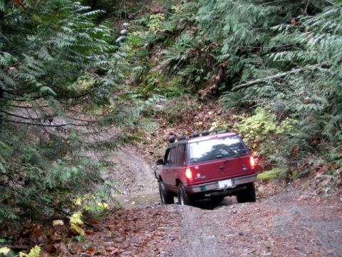

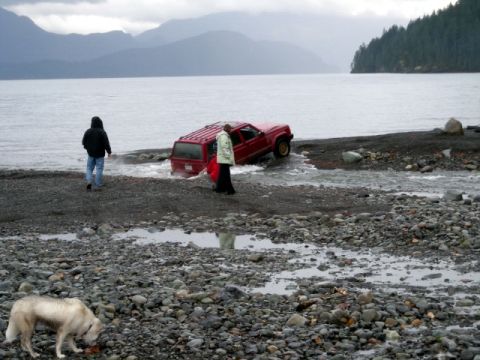

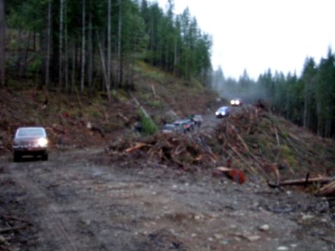

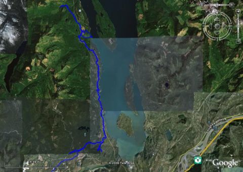




A satellite image shows a blue line representing a trail or route overlaid on a landscape with mountains, a body of water, and a highway. The route appears to be a long, winding path through a natural environment.
Is this accurate? Sign in to help verify it.




No comments yet.