Home/
Registry/
Ford/
Bronco/
1966-1977/
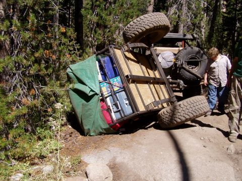
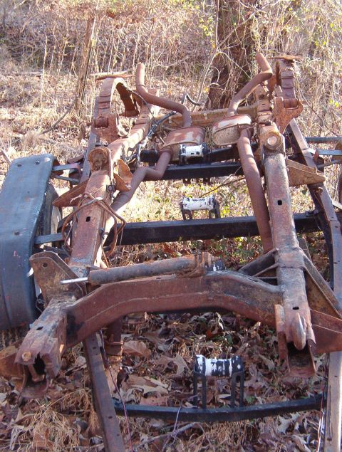
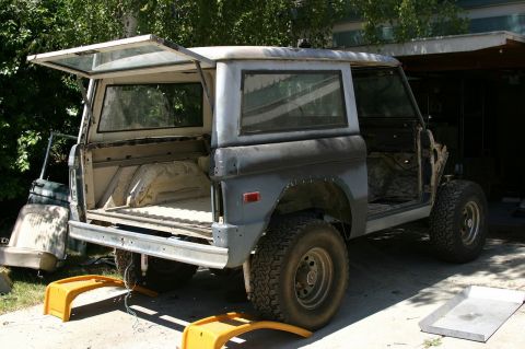
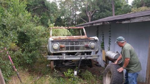
“Bronchole (the hole that all my $ & time goes in)”/
Photo
supermotors.net/registry/media/541225
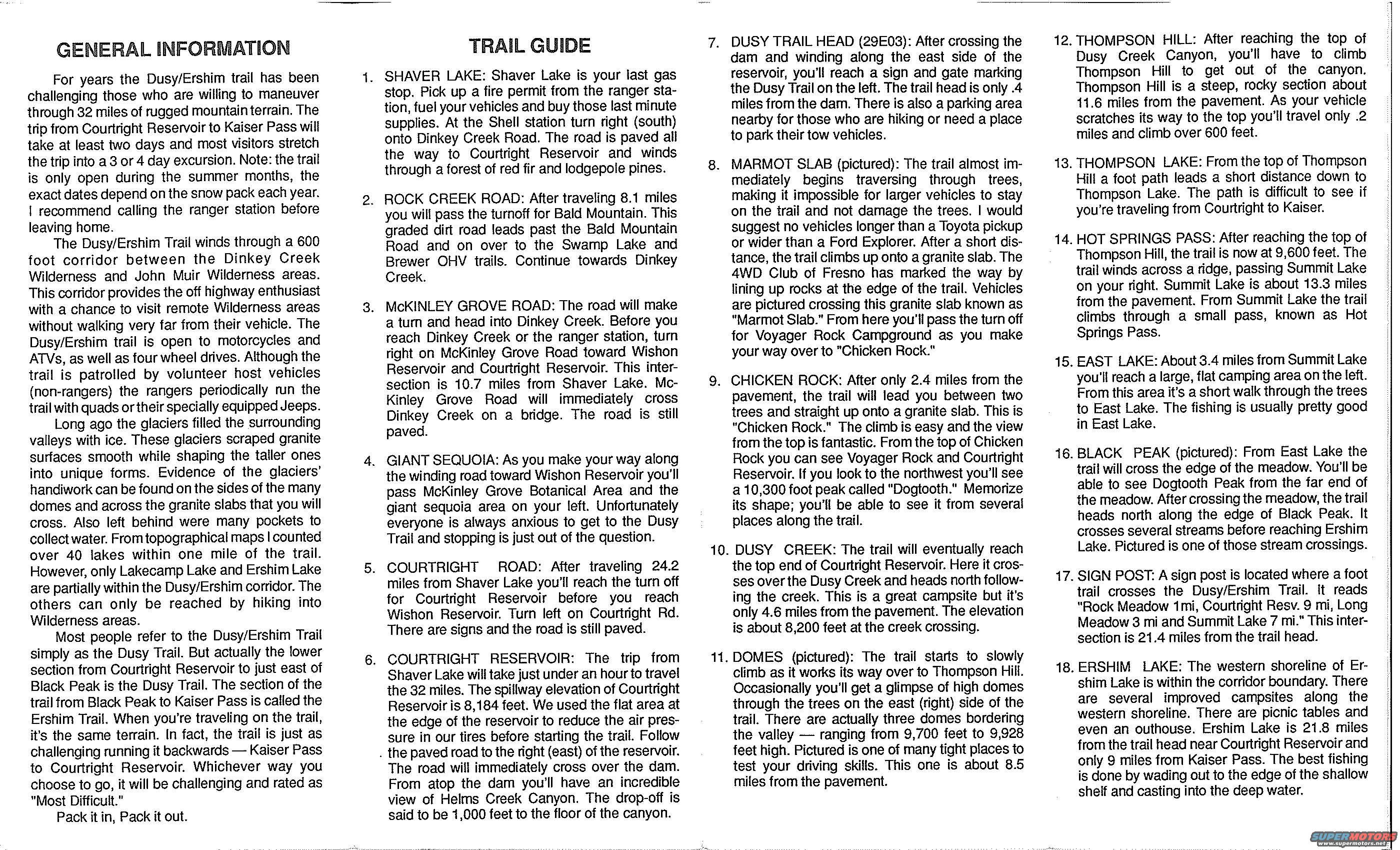
Scanned Dusy/Ershim trail guide panel listing numbered 4x4 waypo…
Dusy-ErshimView all 12
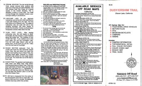
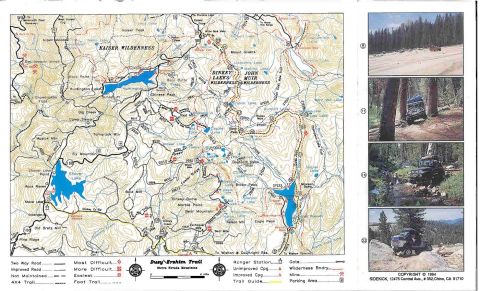
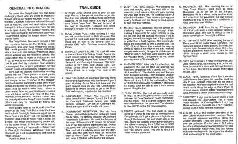
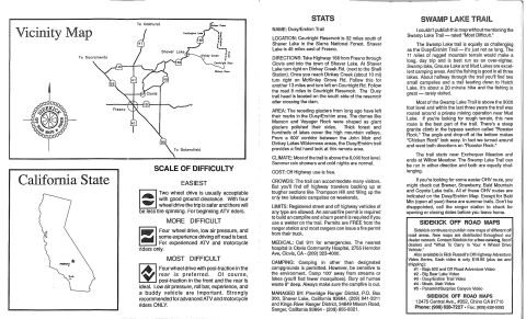
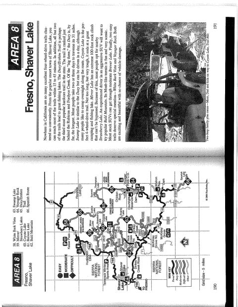
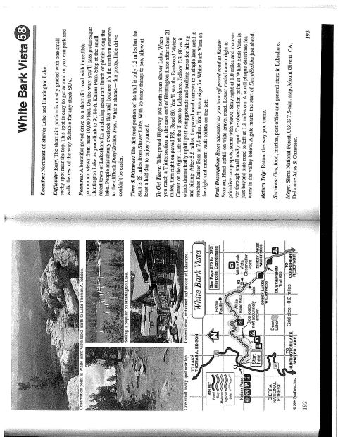
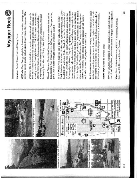
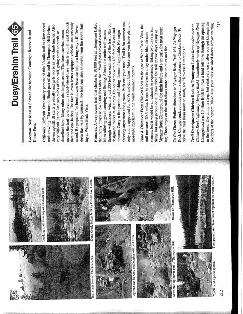
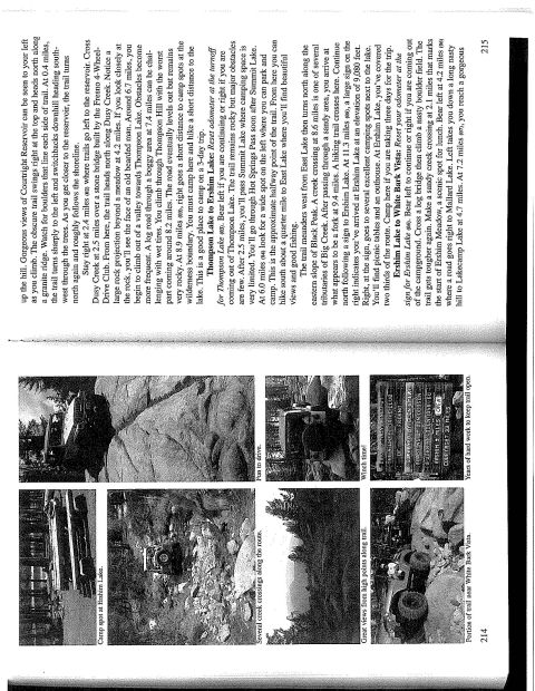
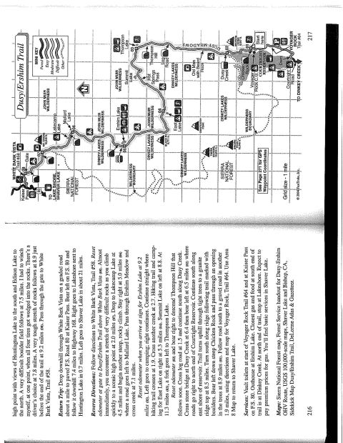
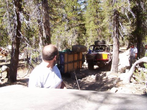
Scanned General Information and Trail Guide panels from the Sidekick Off Road Dusy/Ershim map, with numbered waypoint descriptions running from Shaver Lake and Courtright Reservoir through Chicken Rock, Thompson Hill, Hot Springs Pass and Ershim Lake. The text notes the trail is open to motorcycles, ATVs and four wheel drives and describes the granite slabs and creek crossings along the 32-mile route.
GENERAL INFORMATION For years the Dusy/Ershim trail has been challenging those who are willing to maneuver through 32 miles of rugged mountainterrain. The trip from Courtright Reservoirto Kaiser Pass will take at least two days and most visitors stretch the trip into a 3 or 4 day excursion. Note: the trail is only open during the summer months, the exact dates depend on the snow pack each year. i recommend calling the ranger station before leaving home. The Dusy/Ershim Trail winds through a 600 foot corridor between the Dinkey Creek Wilderness and John Muir Wilderness areas. This corridor provides the off highway enthusiast with a chance to visit remote Wilderness areas without walking very far from their vehicle. The Dusy/Ershim trail is open to motorcycles and ATVs, as well as fourwheel drives. Although the trail is patrolled by volunteer host vehicles (non-rangers) the rangers periodically mn the trail with quads ortheir specially equipped Jeeps. Long ago the glaciers filled the surrounding valleys with ice. These glaciers scraped granite surfaces smooth while shaping the taller ones into unique forms. Evidence of the glaciers handiwork can be found on the sides of the many domes and across the granite slabs that you will cross. Also left behind were many pockets to collectwater. Fromlopographical maps I counted over 40 lakes within one mile of the trail. However, only Lakecamp Lake and Ershim Lake are partially within the Dusy/Ershim corridor. The others can only be reached by hiking into Mlderness areas. Most people refer to the Dusy/Ershim Trail simply as the Dusy Trail. But actually the lower section from Courtright Reservoir to just east of Black Peak is the Dusy Trail. The section of the trail from Black Peak to Kaiser Pass is called the Ershim Trail. When youre traveling on the trail, its the same terrain. In fact, the trail is just as challenging running it backwards Kaiser Pass to Courtright Reservoir. Whichever way you choose to go, it will be challenging and rated as "Most Difficult." Pack it in, Pack it out. TRAIL GUIDE . SHAVER LAKE: Shaver Lake is your last gas stop. Pick up a fire permit from the ranger sta tion, fuel your vehicles and buy those last minute supplies. At the Shell station turn right (south) onto Dinkey Creek Road. The road is paved all the way to Courtright Reservoir and winds through a forest of red fir and lodgepole pines. . ROCK CREEK ROAD: After traveling 8.1 miles you will pass the turnoff for Bald Mountain. This graded dirt road leads past the Bald Mountain Road and on over to the Swamp Lake and Brewer OHV trails. Continue towards Dinkey Creek. . McKlNLEY GROVE ROAD: The road will make a turn and head into Dinkey Creek. Before you reach Dinkey Creek or the ranger station, turn right on McKinley Grove Road toward Wishon Reservoir and Courtright Reservoir. This inter section is 10.7 miles from Shaver Lake. Mc Kinley Grove Road will immediately cross Dinkey Creek on a bridge. The road is still paved. . GIANT SEQUOlA: As you make your way along the winding road toward Vlshon Reservoir youll pass McKinley Grove Botanical Area and the giant sequoia area on your left. Unfortunately everyone is always anxious to get to the Dusy Trail and stopping is just out of the question. . COURTRIGHT ROAD: After traveling 24.2 miles from Shaver Lake youll reach the turn off for Courtright Reservoir before you reach Wishon Reservoir. Turn left on Courtright Rd. There are signs and the road is still paved. . COURTRIGHT RESERVOIR: The trip from Shaver Lake will take just under an hourto travel the 32 miles. The spillway elevation of Courtright Reservoir is 8,184 feet. We used the flat area at the edge of the reservoir to reduce the air pres- sure in our tires before starting the trail. Follow . the paved road to the right (east) of the reservoir. The road will immediately cross over the dam. From atop the dam youll have an incredible view of Helms Creek Canyon. The drop-off is said to be 1,000 feet to the floor of the canyon. 7. 10. 11. DUSY TRAIL HEAD (29E03): After crossing the dam and winding along the east side of the reservoir, you'll reach a sign and gate marking the Dusy Trail on the left. The trail head is only .4 miles from the darn. There is also a parking area nearby for those who are hiking or need a place to park their tow vehicles. MARMOT SLAB (pictured): The trail almost im- mediately begins traversing through trees, making it impossible for larger vehicles to stay on the trail and not damage the trees. I would suggest no vehicles longer than a Toyota pickup or wider than a Ford Explorer. After a short dis tance, the trail climbs up onto a granite slab. The 4WD Club of Fresno has marked the way by lining up rocks at the edge of the trail. Vehicles are pictured crossing this granite slab known as "Marmot Slab." From here you'll pass the turn off for Voyager Rock Campground as you make your way over to Chicken Rock." CHICKEN ROCK: After only 2.4 miles from the pavement, the trail will lead you between two trees and straight up onto a granite slab. This is "Chicken Rock." The climb is easy and the view from the top is fantastic. From the top of Chicken Rock you can see Voyager Rock and Courtright Reservoir. If you look to the northwest youll see a 10,300 foot peak called "Dogtooth." Memorize its shape; you'll be able to see it from several places along the trail. DUSY CREEK: The trail will eventually reach the top end of Courtright Reservoir. Here it cros ses overthe Dusy Creek and heads north follow- ing the creek. This is a great campsite but its only 4.6 miles from the pavement. The elevation is about 8,200 feet at the creek crossing. DOMES (pictured): The trail starts to slowly climb as it works its way over to Thompson Hill. Occasionally youll get a glimpse of high domes through the trees on the east (right) side of the trail. There are actually three domes bordering the valley - ranging from 9,700 feet to 9,928 feet high. Pictured is one of many tight places to test your driving skills. This one is about 8.5 miles from the pavement. 12. 13. 14. 15. 16. 17. 18. THOMPSON HILL: After reaching the top of Dusy Creek Canyon, youll have to climb Thompson Hill to get out of the canyon. Thompson Hill is a steep, rocky section about 11.6 miles from the pavement. As your vehicle scratches its way to the top youll travel only .2 miles and climb over 600 feet. THOMPSON LAKE: From the top of Thompson Hill a foot path leads a short distance down to Thompson Lake. The path is difficult to see if youre traveling from Courtright to Kaiser. HOT SPRINGS PASS: After reaching the top of Thompson Hill, the trail is now at 9,600 feet. The trail winds across a ridge, passing Summit Lake on your right. Summit Lake is about 13.3 miles from the pavement. From Summit Lake the trail climbs through a small pass, known as Hot Springs Pass. EAST LAKE: About3.4 miles from Summit Lake you'll reach a large, flat camping area on the left. From this area its a short walk through the trees to East Lake. The fishing is usually pretty good in East Lake. BLACK PEAK (pictured): From East Lake the trail will cross the edge of the meadow. Youll be able to see Dogtooth Peak from the far end of the meadow. After crossing the meadow, the trail heads north along the edge of Black Peak. It crosses several streams before reaching Ershim Lake. Pictured is one of those stream crossings. SIGN POST: A sign post is located where a foot trail crosses the Dusy/Ershim Trail. It reads "Rock Meadow 1mi, Courtright Resv. 9 mi, Long Meadow 3 mi and Summit Lake 7 mi." This inter- section is 21.4 miles from the trail head. ERSHIM LAKE: The western shoreline of Er- shim Lake is within the corridor boundary. There are several improved campsites along the western shoreline. There are picnic tables and even an outhouse. Ershim Lake is 21.8 miles from the trail head near Courtright Reservoir and only 9 miles from Kaiser Pass. The best fishing is done by wading out to the edge of the shallow shelf and casting into the deep water.
Is this accurate? Sign in to help verify it.
No comments yet.