Home/
Registry/
Ford/
Bronco/
1966-1977/
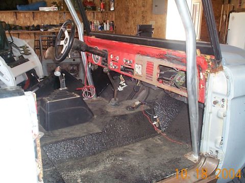
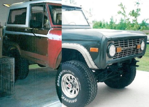
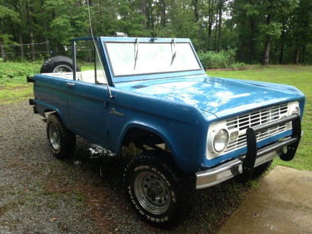
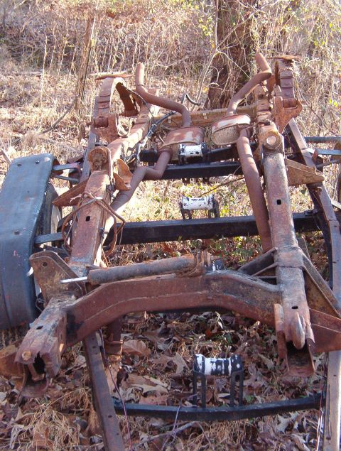
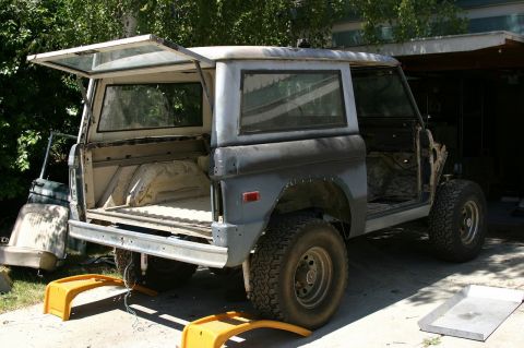
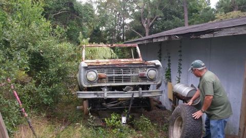
“Bronchole (the hole that all my $ & time goes in)”/
Photo
supermotors.net/registry/media/541226
Sidekick Dusy/Ershim map panels with California vicinity map and…

Dusy-ErshimView all 12
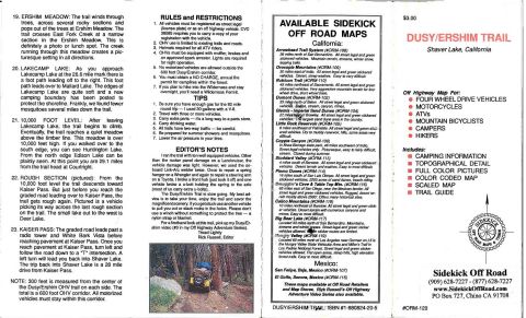
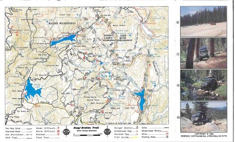
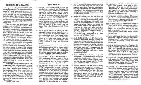
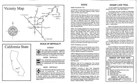
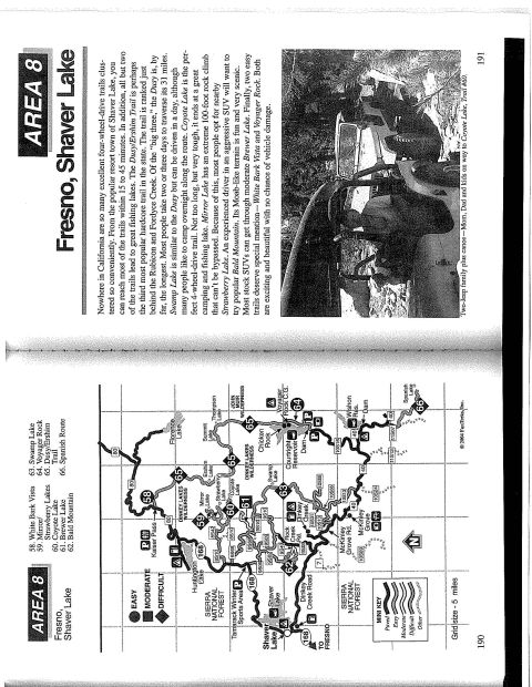
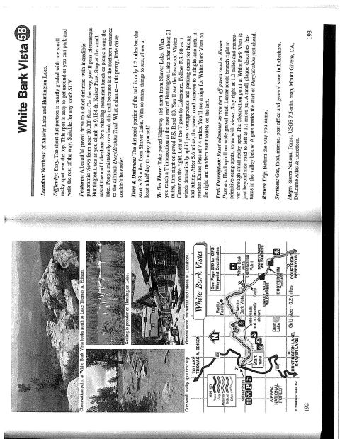
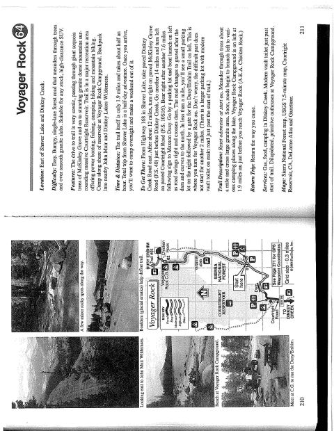
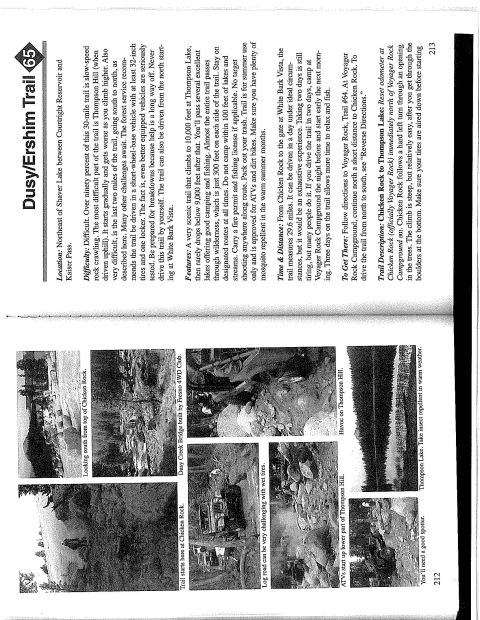
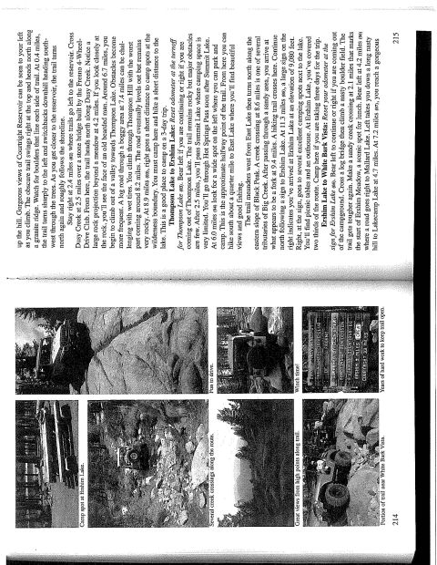
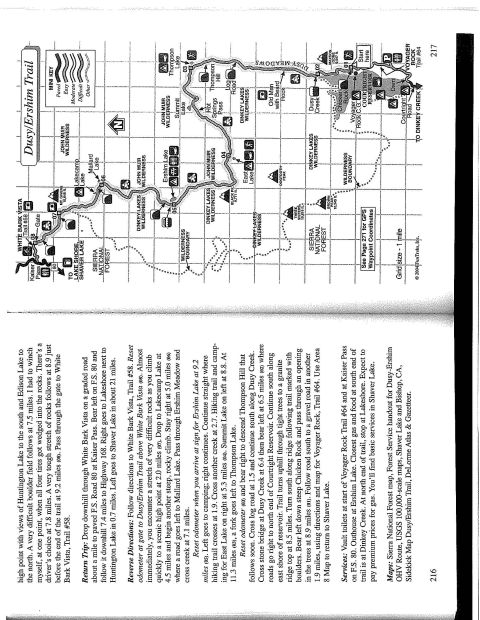
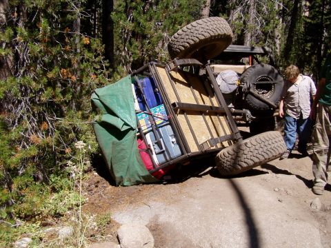
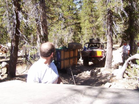
Scanned inner panels of the Sidekick Off Road Dusy/Ershim Trail map showing a California vicinity map with Fresno, Clovis, Shaver Lake and Courtright Reservoir, plus a scale-of-difficulty key rating trails from easiest to most difficult for 4WD and ATV riders. Adjacent columns give trail stats, directions, climate, permit and camping information and a writeup of the neighboring Swamp Lake Trail.
Vicinity Map To Sacramento To Ookhurst m", Fm I ~mum" wrung/ma l-lurrlinqtuo Luk- , I Dinkey Crack Inna; Cuurigirt aw Wuhan Hm To Bakersfield California State SCALE OF DIFFICULTY EASIEST Two wheel drive is usually acceptable with good ground clearance. With four ' wheel drive the trip is safer and there will 0e less tire spinning. For beginning ATV riders. MORE DIFFICULT Four wheel drive, low air pressure, and some experience driving off road is best. For experienced ATV and motorcycle ll riders only. MOST DIFFICULT Four wheel drive with posi-traction in the rear is preferred. Of course, <3 post-traction in the front and the rear is ideal. Low air pressure, roll bar, experience, and a buddy vehicle are important. Strongly recommended foradvanced ATV and motorcycle riders ONLY. STATS NAME: Dusy/Ershlm Trail LOCATION: Courtright Reservoir is 32 miles south of Shaver Lake in the Sierra National Forest. Shaver Lake is 45 miles east of Fresno. DIRECTIONS: Take Highway 168 from Fresno through Clovis and into the town of Shaver Lake. At Shaver Lake turn right on Dinkey Creek Rd. (next to the Shell Station). Once you reach Dinkey Creek (about 10 mi) turn right on McKinley Grove Rd. Follow this for another 13 miles and turn left on Courtright Rd. Follow the road 8 miles to Courtright Reservoir. The Dusy trail head is located on the south side of the reservoir after crossing the dam. AREA: The receding glaciers from long ago have left their marks in the Dusy/Ershim area. The domes like Maxson and Voyager Rock were shaped as giant glaciers polished their sides. Thick forest and hundreds of lakes cover the high mountain valleys. From a 600 corridor between the John Muir and Dinkey Lakes Wilderness areas, the Dusy/Ershim trail provides a first hand look at this remote area. CLIMATE: Most of the trail is abovethe 8,000 foot leveli Summer rain showers and cold nights are normal. COST: Off Highway use is free. CROWDS: The trail can accommodate many visitors. But youll find off highway travelers backing up at tougher sections like Thompson Hill and filling up the only two lakeside campsites on weekends. LIMITS: Registered street and off highway vehicles of any type are allowed An annual fire permit is required to build an campfire and a burn permit is required if you use a welder on the trail. Permits are FREE from the ranger station and most rangers can issue a fire permit from theirtruck. MEDICAL: Call 911 for emergencies. The nearest hospital is Clovis Community Hospital, 2755 Herndon Ave, Clovis, CA - (209) 3234000. CAMPING: Camping in other than designated campgrounds is permitted. However, be sensitive to the environment. Camp 100 away from streams or lakes (you'll find fewer mosquitoes). Bury all human waste 8" deep. Always make sure the campfire is out. MANAGED BY: Pineridge Ranger District, PO. Box 300, Shaver Lake, California 93664, (209) 841-3311 and Kings River Ranger District, 34849 Maxon Road, Sanger, California 93664 (209) 855-8321. SWAMP LAKE TRAIL [couldnt publish this map without mentioning the Swamp Lake Trail rated "Most Difficult." The Swamp Lake trail is equally as challenging as the Dusy/Ershim Trail its just not as long. The 11 miles of rugged mountain terrain would make a long, day trip and is best run as an over~nighten Swamp lake, Grouse Lake and Mud Lakes are excel- . lent camping areas. And the fishing is good in all three lakes. About halfway through the trail youll find two small campsites and a trail leading down to Hatch Lake. Its about a 20 minute hike and the fishing is great rarely visited. Most of the Swamp Lake Trail is above the 9000 foot level and within the last three years the trail was routed around a private mining operation near Mud Lake. If youre looking for rough terrain, this new route is the best part of the trail. There's a steep granite climb in the bypass section called "Rooster Rock." The angle and dropvoft at the bottom makes Chicken Rock" look easy. In fact we turned around and went both directions on "Rooster Rock. The trail starts near Exchequer Meadow and ends at Willow Meadow. The Swamp Lake Trail can be run in either direction and both are equally chal- lenging. If youre looking for some easier OHV route, you might check out Brewer, Strawberry, Bald Mountain and Coyote Lake trails. All of these OHV routes are indicated on the Dusy/Ershim Map. Except for Bald Mtn (open all year) these are summer trails. Dont be disappointed, call the ranger station to check for opening or closing dates before you leave home. SIDEKICK OFF ROAD MAPS Sidekick continues to publish new maps of different off road areas. New maps are distributed throughout our dealer network. Contact Sidekick for a free catalog, list of dealers and What To Carry in Your 4 Wheel Drive Vehicle. Also available is Rick Russells Off Highway Adventure Video Series. Each video is only $19.95 (plus tax and shipping): #1 - Baja 500 and Off Road Adventure Video #2 Big Bear Lake Video #3 - Dusy/Ershim Trail deo #4 - Moab. Utah Video #5 - Panamint/Surprise Canyon Wdeo SIDEKICK OFF ROAD MAPS 12475 Central Ave., #352, Chino CA91710 Phone: (909) 628-7227 . Fax: (909) 6285392
Is this accurate? Sign in to help verify it.
No comments yet.