Home/
Registry/
Ford/
Bronco/
1966-1977/
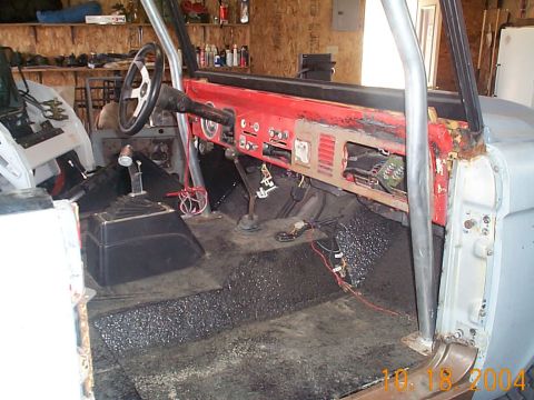
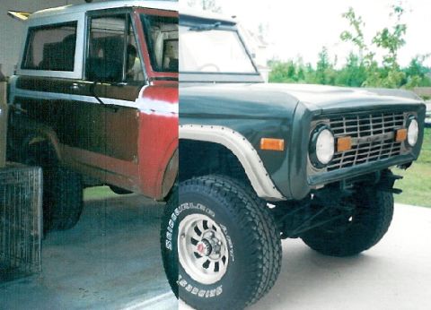
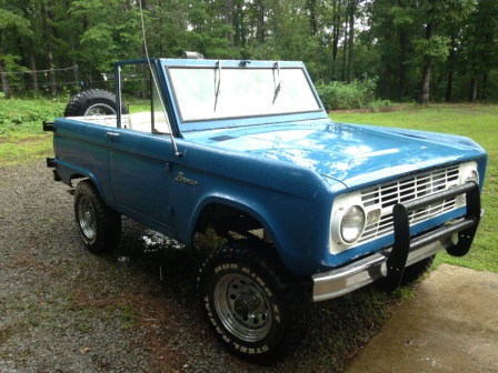
“Bronchole (the hole that all my $ & time goes in)”/
Photo
supermotors.net/registry/media/565668
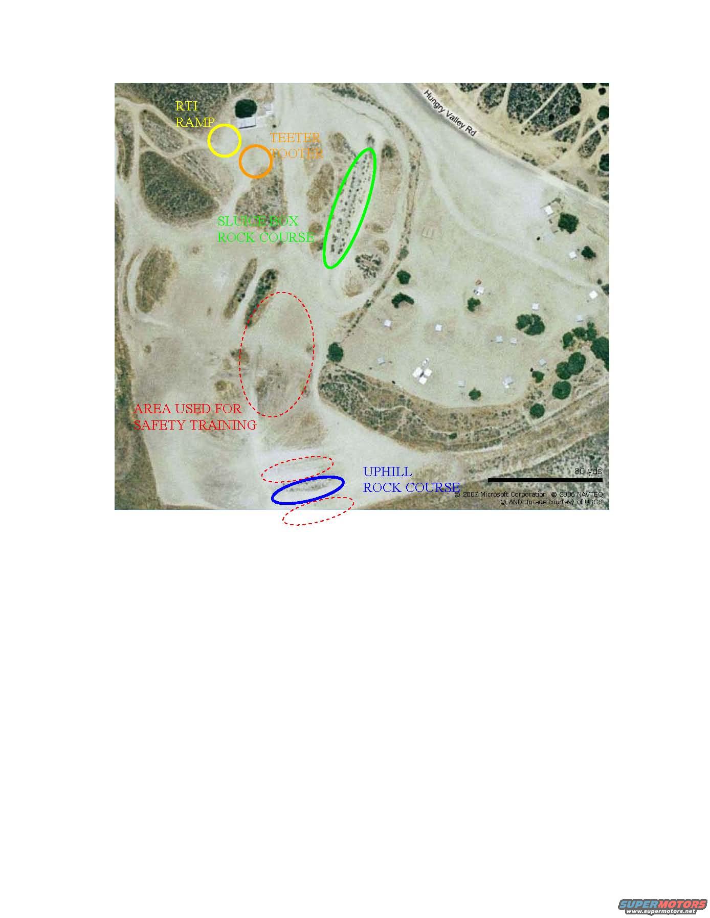
Annotated aerial map of 4x4 event course with RTI ramp and rock…
PM4WDC CrapView all 19
Annotated aerial map of a 4x4 event site off Hungry Valley Rd, with colored circles marking the RTI ramp, teeter totter, slush box rock course, uphill rock course and an area used for safety training. The satellite image is credited to Microsoft/NAVTEQ/USGS and includes an 80-yard scale bar.
Is this accurate? Sign in to help verify it.
No comments yet.